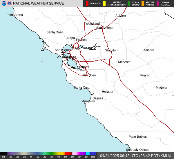
Radar KMUX base reflectivity
The instrument
What you are looking at
Reflectivity is how much of the beam came back, not how much rain reached the ground. At 22 miles the 0.5° beam is a third of a mile across and its center passes about 4,700 ft above Palo Alto — well over the top of the low stratus and drizzle that does most of our winter wetting. A blank screen here is not the same as a dry morning.
The time printed along the bottom edge of each frame is when NWS drew it, not when the radar scanned. NWS redraws every two minutes whether or not new data has arrived, so a frame can read the current time while showing nothing newer than the last scan that came in. The Level II row below says when that was, and the badge beside “The instrument” reads “Data stale” once NWS has gone most of an hour without hearing from the radar.
The dBZ color scale beside that time is also printed by NWS. It is the authority; nothing on this page restates it.
Source: NOAA / National Weather Service, RIDGE. Don’t use this information to make consequential decisions.